New Caribbean Netherlands Dataroom Now Online!

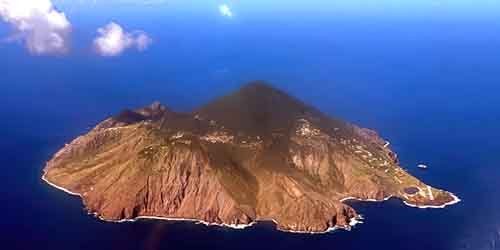
Starting today, the aerial photos and elevation measurements taken for the first time in 2023 and 2024 of Bonaire, Sint Eustatius, and Saba are available in the Caribbean Netherlands Dataroom.
This new data serves as an essential digital foundation for improving the registration of addresses and buildings on the islands. But the potential applications go even further:
The imagery was created on behalf of the Beeldmateriaal Nederland Partnership in collaboration with the public bodies of Bonaire, Sint Eustatius, Saba, and the Ministry of the Interior and Kingdom Relations (BZK).
Curious about the data? Take a look at the Dataroom using the viewers or download the datasets easily. Discover how this data can support your work or research: Dataroom Caribisch Nederland | AHN
Koninkrijksrelaties

 Saba News News and Information from Saba Island, Dutch Caribbean
